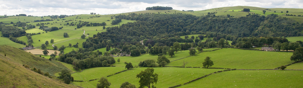
About the Walks
This website contains what I consider to be the best walks in the 1½ to 3½ hour bracket across the White Peak. Of course this is only my subjective opinion but for me, a good route is one that stands out in your memory and you want to go back and do it again and again. I like routes with variation so you might be on the tops with spectacular views one moment, and following a quiet pretty riverbed in another. I will continue to look for more routes that have that wow factor but my aim is for quality not quantity so this is never going to be a vast catalogue of walks.
All routes start and finish at the same place and with few exceptions are based around the OS Explorer Map OL24. If there is sufficient demand, I will add routes in the Dark Peak in the future.
A reasonable level of fitness is assumed as all the walks involve an amount of uphill; some quite considerable. I have also assumed that anyone undertaking these walks will be familiar with the right kind of footwear to use (the paths are frequently uneven, rocky and certainly muddy at times) and have knowledge of the right type of clothing to take with them for if the weather turns on them (it has been known in the Peaks to get a bit of rain from time to time!!).
Most paths can become very muddy after wet weather and wet limestone becomes extremely slippery so be prepared for poor conditions, even if you set out in blazing sunshine.
The times given against each route are taken from the OS GetaMap website. These are based on Naismith's rule of 3 miles per hour with allowances for ascent and descent. I always take longer than these times but I do spend quite a bit of time throwing a Frisbee, taking photos or just making notes about the route.
Local weather conditions can be found on the BBC website http://www.bbc.co.uk/weather/2656617, just enter the nearest town (i.e. Bakewell, Buxton etc). It tends to be reasonably accurate but please don't blame me if you end up in an unexpected downpour - it happens!
I've tried to make all of the route descriptions as clear as possible so referring to a map should be unnecessary, but this doesn't mean leaving the map at home (or GPS device if you have one). If you need to escape from a route for any reason, you'll need to find the best way out so a map could become very important.
I've avoided using compass bearings in the route descriptions as not every walker has a compass
Please take all distances (which are in meters - mtrs) in the route descriptions with a rather large pinch of salt. They are very approximate and only intended to give an idea of where a stile or gate etc is located. If it's necessary to be more exact with a location, I've tried wherever possible to give an additional indicator to avoid ambiguity.
Have great fun out there and please remember to observe the country code.
Disclaimer
Whilst I have made every effort to achieve accuracy in the production of this walking website and have tried to make the route descriptions as unambiguous as possible, I accept no responsibility for trespass, loss or damage to persons or property suffered as a result of any of the route descriptions or suggested locations of where to park. I also accept no responsibility for any trespass, damage or injury your pet may cause; they are your responsibility and they should always be under your control.
The inclusion of a route on this website does not guarantee that the path/track will remain a right of way. If any conflict with landowners occurs, please be polite and leave by the shortest possible route, then check the situation with the relevant authority. Please also let me know and I'll make any necessary amendments to the route on the website if it proves necessary.


Site by Ged